The forest district, Middelfart
The strategy for the area is to utilize the natural slope of the terrain to divert rainwater to Langedam, and further to the Little Belt. Rainwater from the detached housing areas is disconnected from the sewer system. With this, most everyday rain in the area is sought to be handled locally. In the event of heavy rain and extreme rain, there is overflow to adjacent areas.
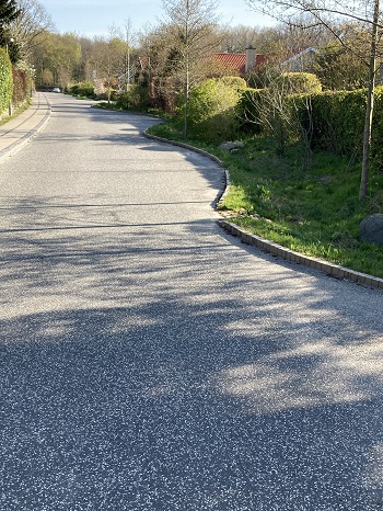
Roadbeds with scattered trees have been established. The roadbeds collect everyday rainwater so that it can infiltrate into the ground. In a cloudburst situation, the rainwater is diverted away via the roads.
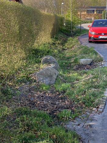
All roads in the area are disconnected from the sewer system, so all rainwater that falls on the roads is handled on the surface, either in gutters or roadbeds along the roads. From the detached housing areas, the water is led on to rainbeds and the Aktivitetsskoven. From here the water is led to Langedam and then out into the Little Belt.
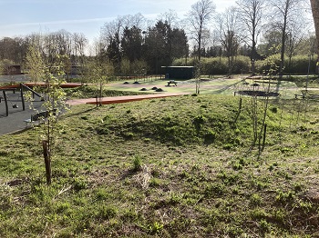
The activity forest
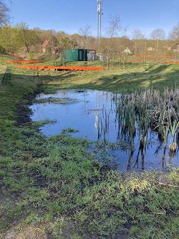
The strategy has been to divert rainwater from the surrounding roads and residential areas down to the activity forest with hollows in the ground, which delay and clean the water before it is discharged to Langedam.
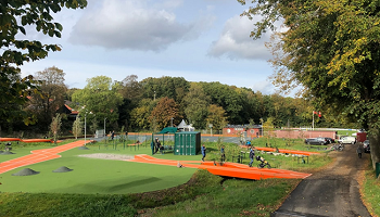
Several waterways meet and gather into a larger stream and in small lakes, where the rainwater from the Skovkvarteret is collected and can infiltrate during larger cloudbursts. Between lakes and streams there are areas for ball games, play and exercise.
Read more here
Photos